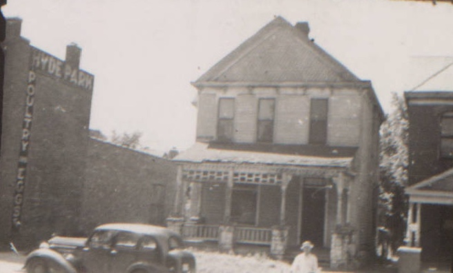
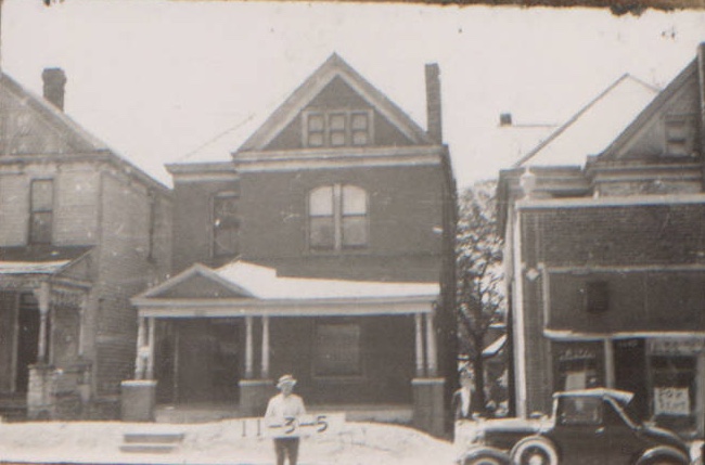
Residents began moving into the block around E. 31st Street from Charlotte to Campbell in the late 1800s, and as the population grew, 31st Street (formerly known as Springfield Avenue) became a commercial street offering services such as cleaning, furniture making, and a grocery store.
As part of our Uncovering History Project, the Midtown KC Post is examining each block in Midtown. A set of 1940 tax assessment photos is available for many blocks.
Recently, we explored the history of on E. 31st Street Terrace between Charlotte and Campbell, a street formerly known as Glen Airy Place. Today’s focus is on the rest of the block between Glen Airy and E. 31st Street from Charlotte to Campbell.
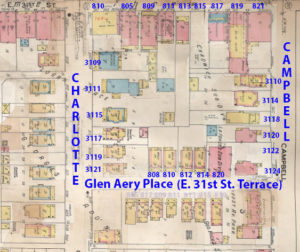
A 1909-1950 Sanborn map of the block.
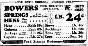
A 1941 newspaper ad for Bowers Poultry.
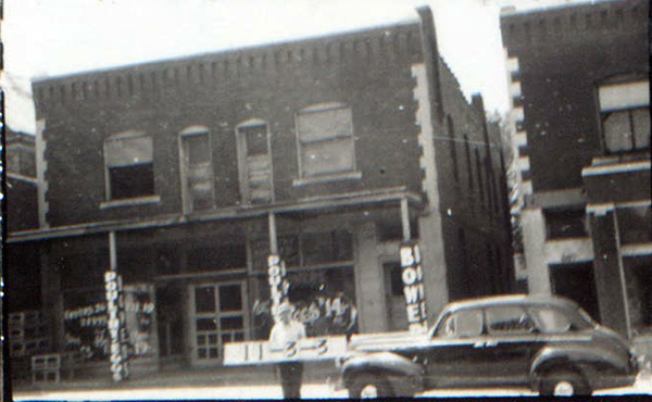
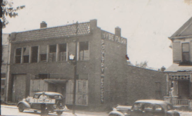
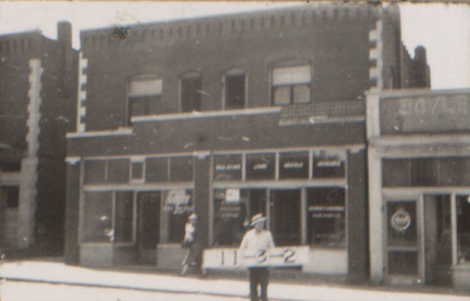
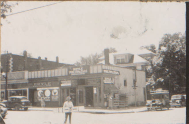
Perhaps the best-known business on this stretch of 31st Street was the poultry house at 809. In 1924, it was called Clarks and advertised as “the biggest, cleanest, and most modern poultry house in the city.” In 1941, it was called Bowers Poultry and advertised that poultry was “alive until ordered.”
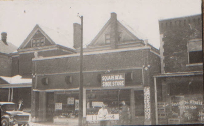
Other businesses came and went along the street, including a wallpaper store, a furniture maker, and a mattress company.
An early map of the area shows the Springfield Avenue Christian Church on the southeast corner of 31st and Charlotte. Also known as Southside Christian, the church moved to Linwood and Forest in 1908 and changed its name to Linwood Christian. After that church at Forest burned in 1939, the Community Christian Church moved to its current location at 46th and Main.
Earliest records of the homes along Charlotte and Campbell also appear at the very end of the 1800s.
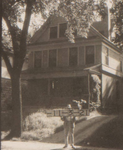
The photos below show the remaining businesses and residences on the block as they appeared in 1940. (Note: the homes on 31st Street Terrace or Glen Airy Place, are detailed in a previous post).
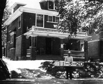
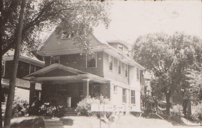
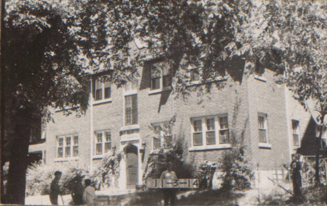
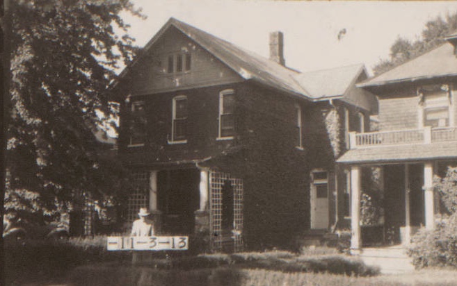
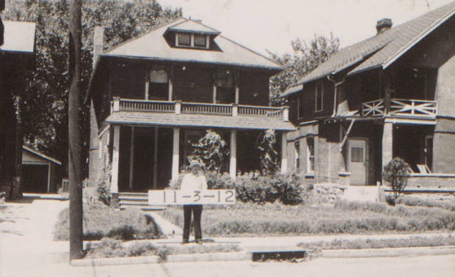
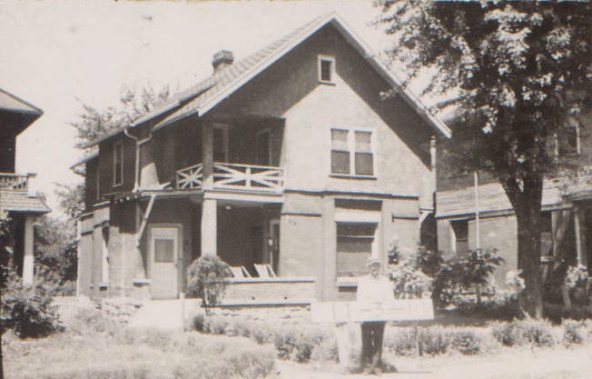
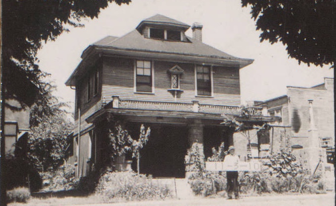
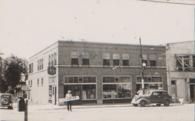
Historic photos courtesy Kansas City Public Library/Missouri Valley Special Collections.
As part of our Uncovering History Project, the Midtown KC Post is examining each block in Midtown. A set of 1940 tax assessment photos is available for many blocks.
Would you happen to have any photos of 2300 Independence Ave, I lived in an apartment building that faced Park Ave and Independence Ave but it’s gone now. My old grade school St. John the Baptist is still there just down the street on Independence Ave. Would love to see any photos you might have of the old building. Google maps show the site but the building is gone.
Bernice:
That is outside of the area we cover, but maybe someone else has some information they can share.
Mary Jo
This article is fascinating. I understand there was a cookie making place at one time. I believe it was called Mrs. Fritz’s Cookies. What other businesses were there? Thank you.