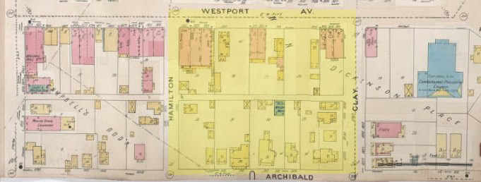
Although Westport is best known for its role as a frontier trading outpost, few remnants of that pioneer past remain standing. The Westport we know today, including this block from Westport Road to Archibald and from Broadway to Central, was mostly built in the early years of the 20th century, with Westport Road making the transition from an important trail leading west to a commercial shopping area for surrounding neighbors.
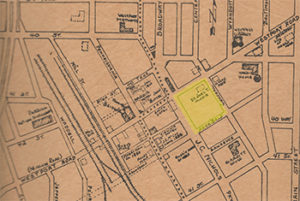
This map of old Westport shows the main cluster of businesses at Westport Avenue and Pennsylvania. The only building shown in this week’s featured block was the home of physician Joel Morris.
As part of our Uncovering History Project, the Midtown KC Post is examining each block in Midtown. A set of 1940 tax assessment photos is available for many blocks.
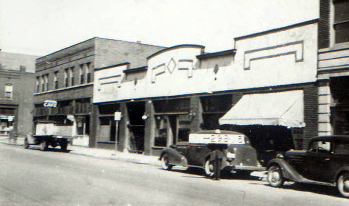
As the 1920s began, the block along Westport Road began to take on a more commercial face. While Archibald remained a residential street, businesses along Westport Road became more densely packed as the surrounding neighborhood was built up, and streetcars made the block an easy-to-reach destination.
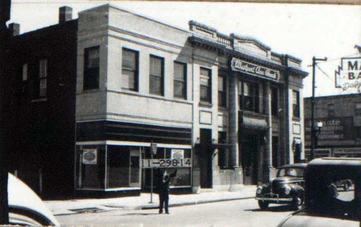
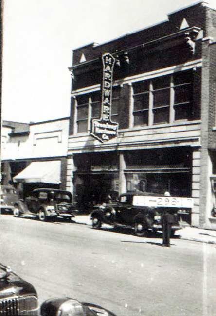
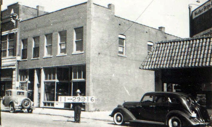
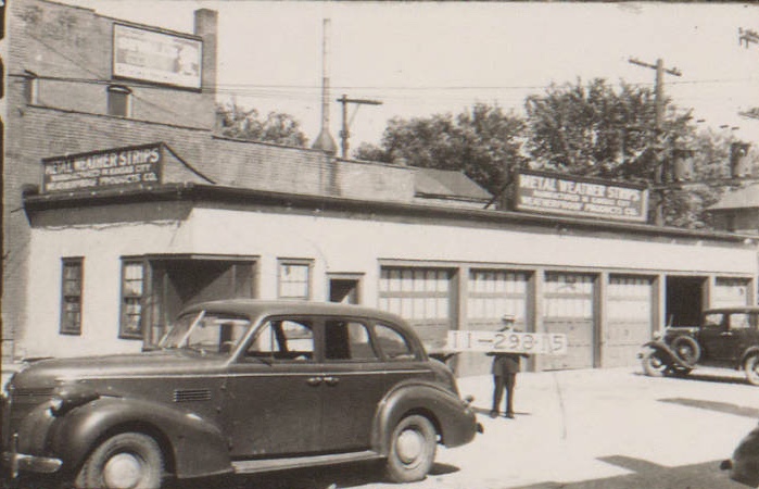
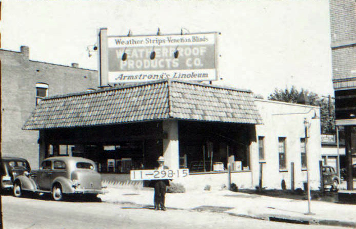
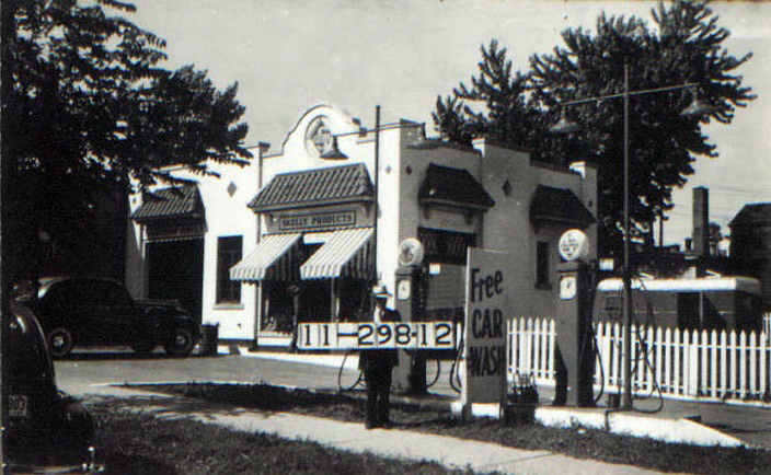
Like much of Midtown, the rising popularity of automobiles led to major alterations in business areas. By 1940, a gas station had replaced older frame residences at the corner of Broadway and Archibald. The Westport Avenue Bank, which moved to the corner of Westport and Broadway in 1920, in 1942 bought neighboring Weatherproof Products Company, which sold linoleum, in order to expand bank parking.
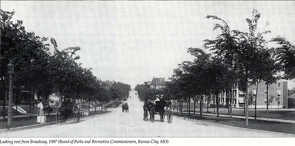
Historic photos courtesy Kansas City Public Library/Missouri Valley Special Collections.
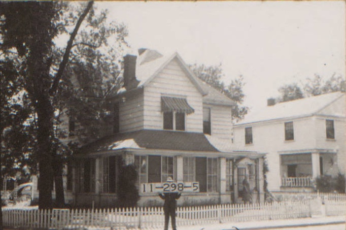
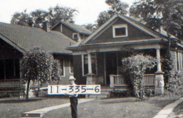
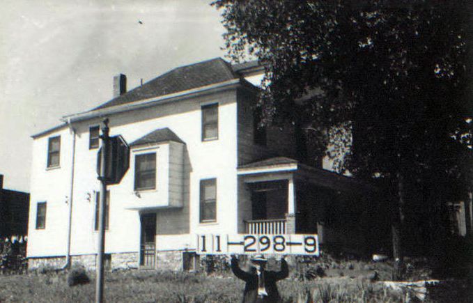
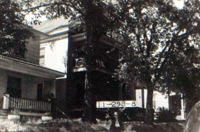
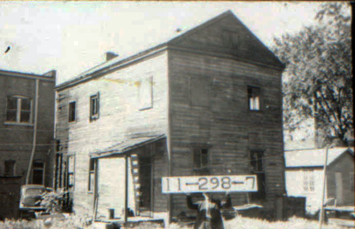
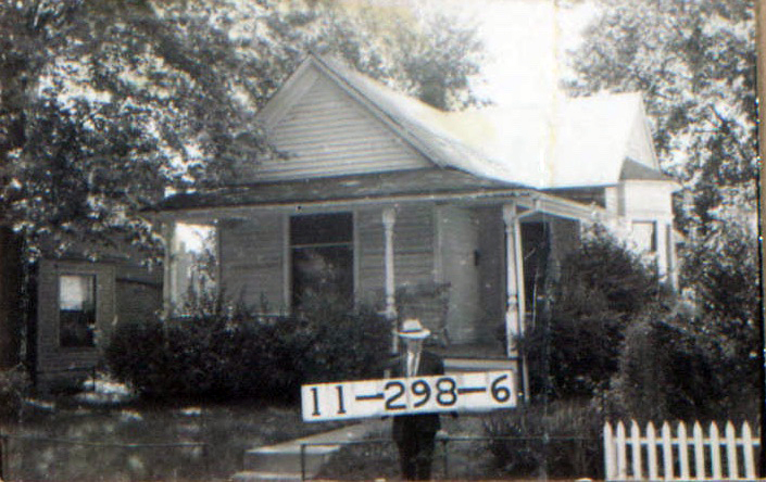
The photos below show the rest of the homes on the block as they looked in 1940.
I would be interested to learn how the streets in one section of Westport became angled.
Elaine:
Westport and Kansas City were originally two separate towns. Westport was laid out on a different grid than Kansas City. When Westport was annexed into the large Kansas City, its streets did not fit neatly into the east-west grid, but went off at an angle.
My father, Wyatt Jenkins and Merle Fowler owned and operated the Westport Printing Co at 411 Westport Rd from about 1942 to 1950. I, and my brothers and sisters, worked there part time while attending school., as did the Fowler children. Dad banked at the Westport Bank. My husband-to-be, unbeknowns to me, worked part time at the Westport Hardware – East of the Westport Bank – during the same time-frame. We all have many fond memories of that area known as “Westport”.
I grew up in Westport and lived at 42nd and Pennsylvania ( called Bridger, I think) About 2 blocks south of Kelly’s, behind a laundry building, there was an abandoned building that used to be a black church. It was in terrible shape and had been empty for a long time. We used to go “exploring” there. The laundry is long gone but I would be interested to find out more information about the old church. There was also a tiny cemetery on my block that was between 2 buildings close to Westport Rd. It was from the confederate war but I don’t know what happened to the graves. I also remember when the Westport flea market was the Kitty Clover potato chip company where you could look thru the large winddows and see the chips coming down the conveyer belts. I have pictures of my girl scout troop on the day we dedicated the Westport shopping center covered wagon. Things sure have changed.
Was there ever a Ford dealership on Westport Rd. close to the Prydes Building? I saw an old photo and it show one but I can’t figure out exactly what location today that it stood near back in the past.