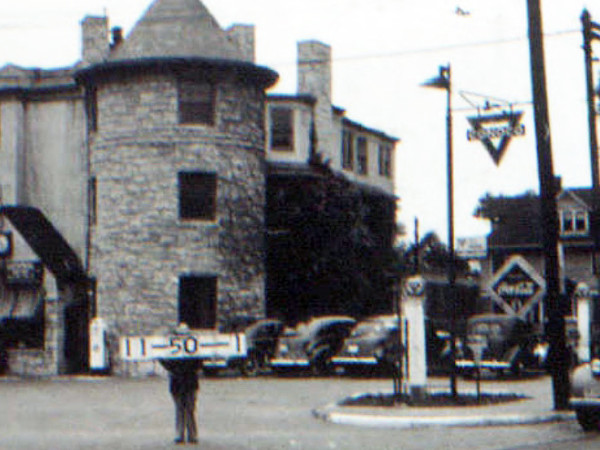
Last week, the 3400 block of Broadway was in the news as the city council took action to advance a proposed project on the MGE site at 34th Street.
That area has undergone significant changes over the years. Like other major Midtown thoroughfares such as Main Street and Troost Avenue, Broadway began as a residential street but was converted over the years into a commercial corridor.
In the case of Broadway, four maps from different decades show the transitions – sometimes gradual and sometimes abrupt – in how the street evolved.
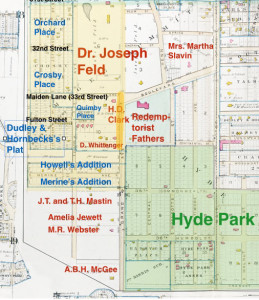
The first map shows Broadway in 1891. The dark yellow line shows the block, dominated at this time by the large estate of H.D. Clark, owner of the Orpheus Theater in downtown Kansas City. Just to the north, Dr. Joseph Feld temporarily offered dancing and boating in his large private park. Across the street to the east was the land of the Redemptorist Fathers.
The Hyde Park area was beginning to be developed. The first map also shows early homes west of Broadway in what is now the Valentine neighborhood.
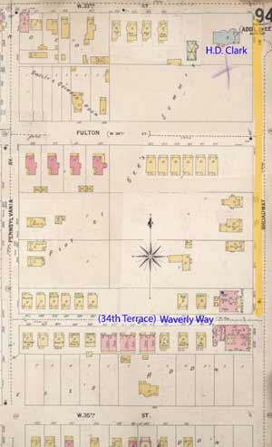
The second map shows the same area from 1895 to 1907. During this period, it was outside Westport’s outskirts and comprised of homes and apartments.
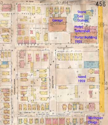
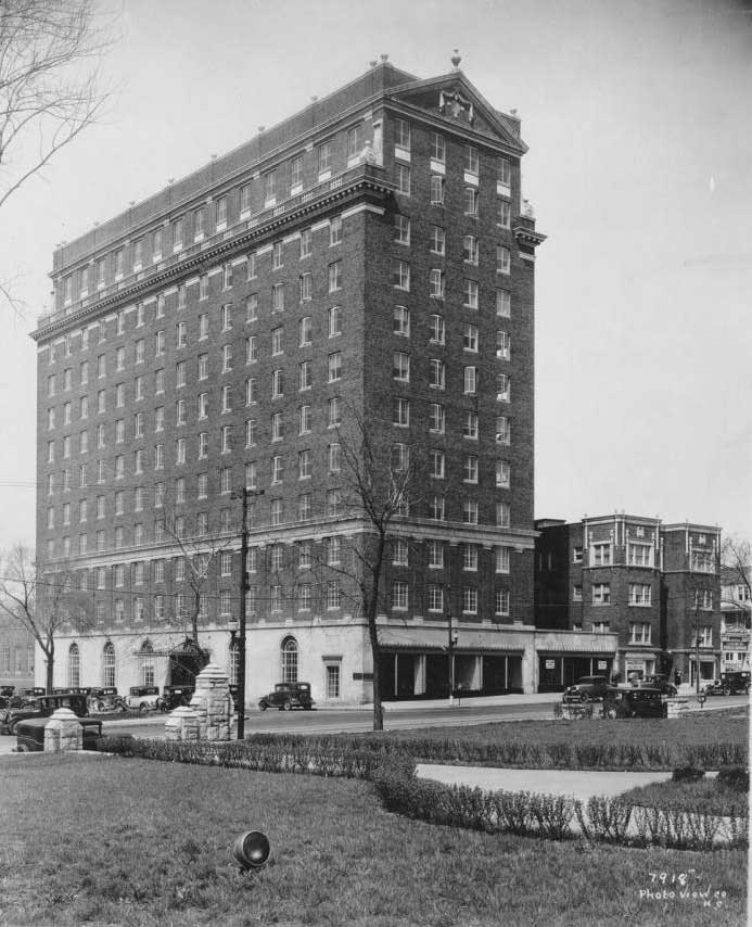
The third map shows the same blocks in a 1909-1950 map, showing the addition of the Porter Building and other commercial buildings along Broadway.
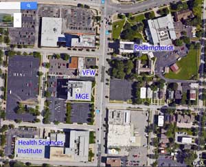
Today, even more significant changes have occurred on the blocks. Many major changes came in the late 1950s when Broadway underwent a rapid redevelopment period that saw homes and local neighborhood businesses razed to make room for large commercial buildings.
In 1970, the VFW built its new national headquarters on the former Porter Building and Tattershall Hotel site. The MGE Building was built in 1984 between 34th Street and 34th Terrace.
I grew up at the corner of 34th & broadway Moved north in 1956.
FWIW, the forth map has an error. The VFW building is on NW corner of 34th and Broadway instead of the SW corner. Great article!