midtownkcposter

Troost Block Served Manheim Park Residents

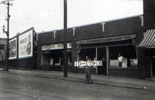
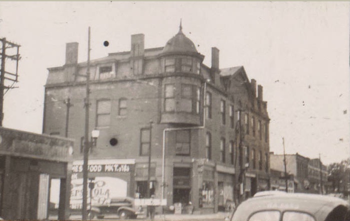
Like many blocks of Midtown in 1940, this section of Manheim Park from Troost to Forest between 42nd and 43rd was a mixture of homes and commercial establishments that served the families there. Along Troost, a typical commercial streetcar corridor, business names changed frequently, including automobile sales, chicken sales and supplies, grocery stores, and drug

Troost Block Served Manheim Park Residents Read More »

Southwest Trafficway Used to Be Summit Street

A 1930s snapshot of one Midtown block highlights its transformation from a neighborhood of working-class families to a commercial corridor along a major traffic route. Although those photos are NOT available for this block, other historical records offer a glimpse of how the block has changed from the 1930s to today. A 1909-1950 Sanburn map of

Southwest Trafficway Used to Be Summit Street Read More »

31st Street Was Home to Neighborhood Businesses

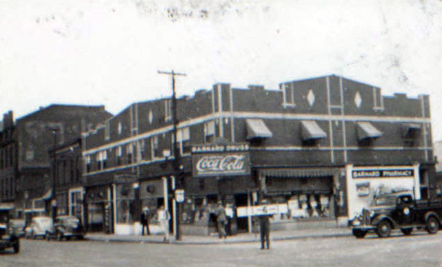
This block of Midtown once thrived as a commercial center, with businesses such as pharmacies, restaurants and beauty shops serving the surrounding neighborhoods. Although a recent satellite image shows only a large parking lot at the corner of Thirty-first and Holmes, that location was bustling in earlier days. From the 1920s to the 1940s, 31st

31st Street Was Home to Neighborhood Businesses Read More »