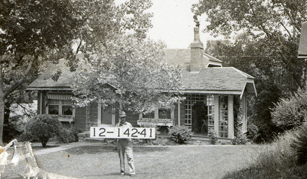
As part of our Uncovering History Project, the Midtown KC Post is examining each block in Midtown. A set of 1940 tax assessment photos is available for many blocks.
Today, we look at some homes in Westwood Park, a Kansas City neighborhood just across the state line from Westwood, Kansas. Developed beginning in 1913, J.C. Nichols stepped in in 1921 to help sell lots and boasted he sold 25 percent of the home sites in the first week.
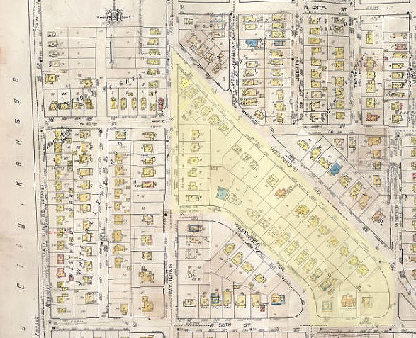
This Sanborn Fire Insurance map (above) from 1917-45 shows the properties in this section of the neighborhood.
Westport Park offered two-story homes and “well-designed” bungalows,” according to newspaper ads. Outdoor activities center around the 9.3-acre Westwood Park, added to the city park system in 1943.
Today’s photos feature the area from Westwood Road southwest to Westwood Terrace and Wyoming Street southeast to 50th Street. The slideshow at the end of this post shows all of the buildings that existed in this section when the 1940 tax photos were taken.
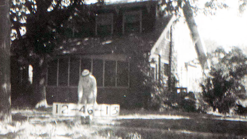
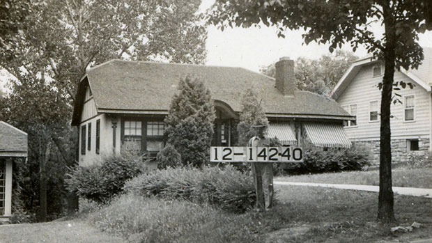
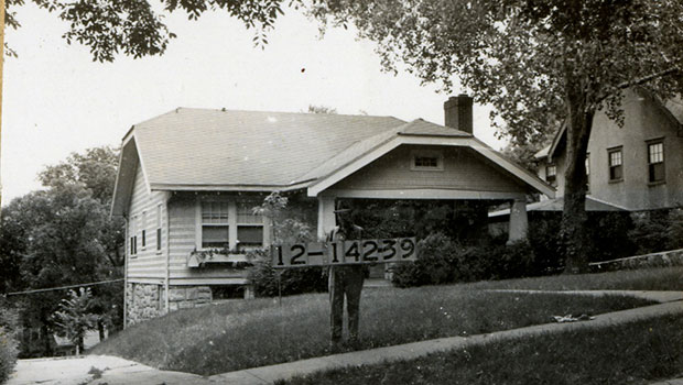
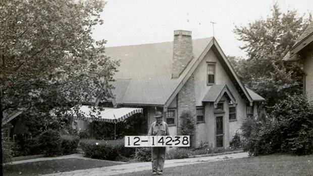
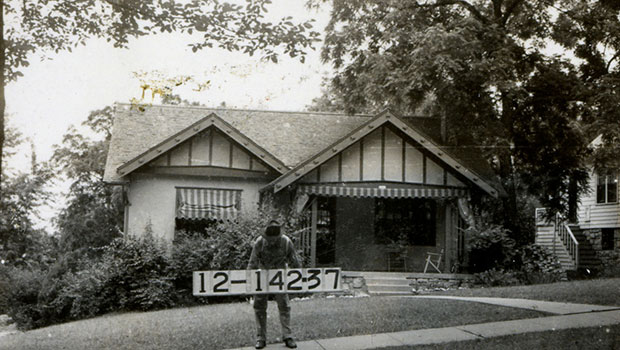
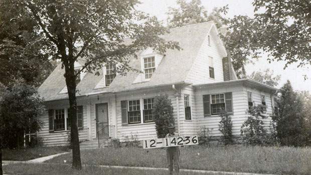
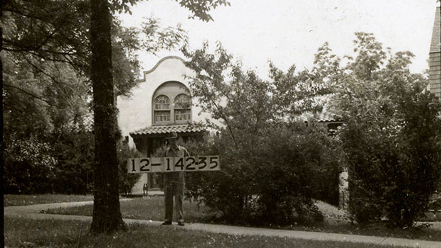
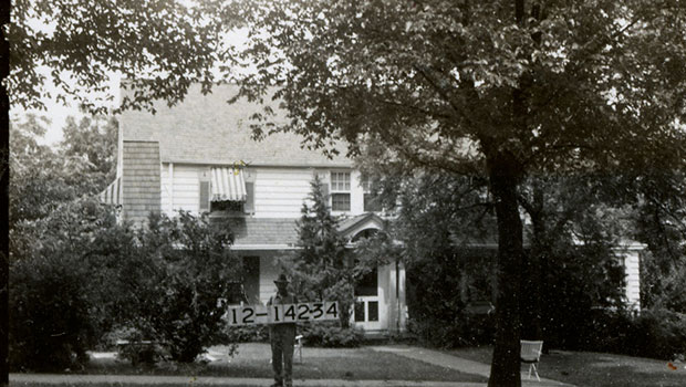
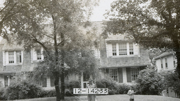
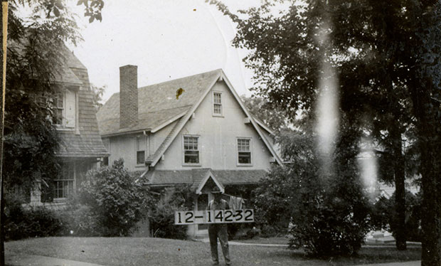
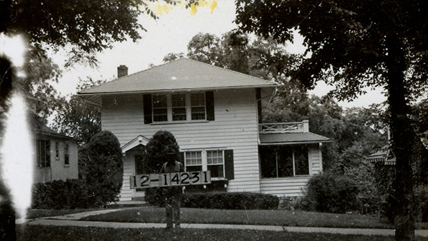
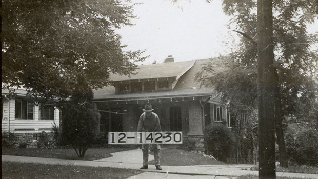
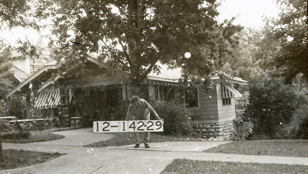
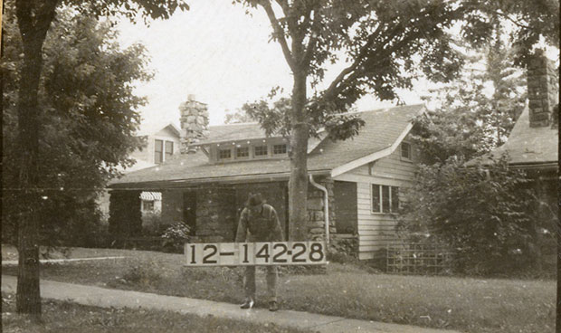
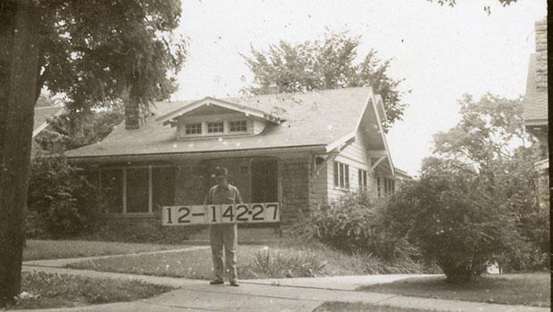
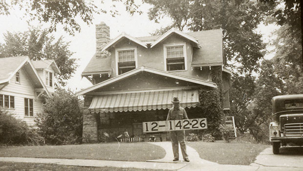
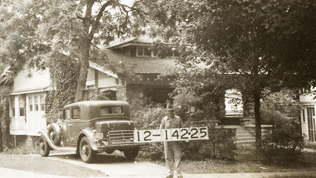
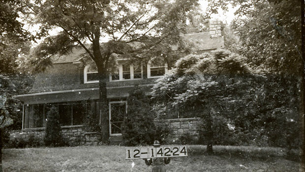
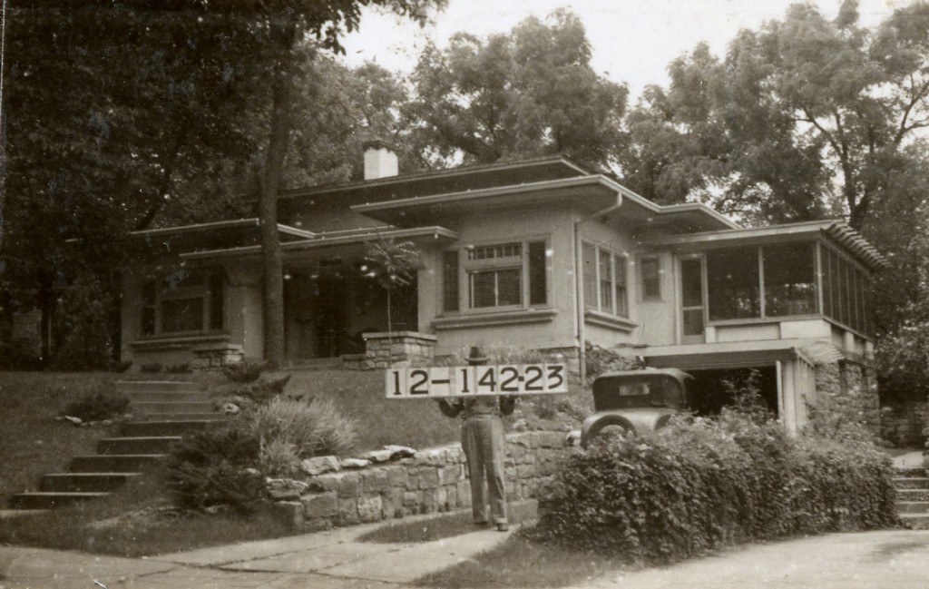
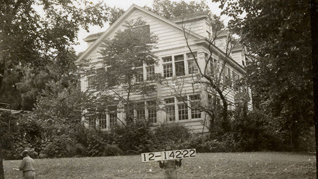
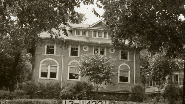
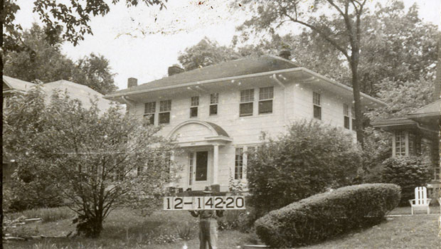
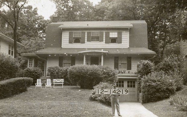

Maps and photos courtesy Kansas City Public Library Missouri Valley Special Collections.
My dad lives in that neighborhood. Very cool to see what his house looked like in 1940!