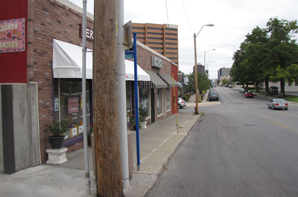
Residents last night considered the future of the south Brush Creek sub-area of the Midtown-Plaza area plan. They also weighed in on the North Central sub-area.
Midtown residents grappled Tuesday with how to develop a plan to let neighborhoods know where they can safely invest, and let businesses and developers know where future growth would be most welcome.
But they said complicated issues such as how to increase density without creating more traffic problems, where the streetcar line may go in the future, and how large institutions like universities can grow without encroaching on neighborhoods complicate planning.
The discussion came at the second round of sub-area meetings for the Midtown-Plaza area plan, which when completed will be a new set of city guidelines for land use, zoning, public improvements, transportation, housing and economic development.
Residents commented on transportation, urban design and land use issues for two separate sub-areas, the North Central and the South Brush Creek areas.
In both groups, participants offered varying opinions about the impact an extended streetcar line could have on Midtown. While streetcars have only been approved for Downtown so far, the city is studying where the next streetcar lines should go.
North Central sub-area
This section of Midtown is currently covered by four separate plans: the Westport Plan of 1972; the Main Street Corridor Land Use and Development Plan of 2003; the Main Street Streetscape Plan of 2008; and the Cultural Heritage District Plan of 2011. Planners say key parts of the current plans will be incorporated into the new document, while some parts may be revised or updated.
In their analysis of the area from 31st to 43rd Streets, from Southwest Trafficway to Gillham Road, the planning team said there is an opportunity to improve east/west connections at 31st Street, Linwood Boulevard, 39th Street and 43rd Street. Currently, they say. East/west connectivity is poor, interrupted by too many barriers and lack of east/west through streets.
One resident told them it required “vehicular gymnastics” to get where you want to go. Residents also said they would like to see traffic slowed down on Southwest Trafficway
South Brush Creek sub-area
This sub-area is currently covered by six separate plans: the South Central Area Plan of 1980; the Country Club Area Plan of 1980; the Plaza Urban Design and Development Plan of 1989; the Bursh Creek Land Use and Development Plan of 1998; the Troostwood Neighborhood Plan of 1999; and the Troost Corridor Action Plan of 2003. In addition, other planning efforts in the area include: the Green Impact Zone; the Chamber of Commerce Urban Neighborhood Initiative; the Rockhurst Campus Master Plan and the UMKC Campus Master plan.
The planning analysis says Brush Creek is a barrier to north/south travel through the area, and that parking from UMKC and Rockhurst spills into adjacent neighborhoods. It also says that Volker Boulevard between Main Street and Brookside Boulevard is the most traveled route, and the section of Volker between Rockhill Road and Paseo Boulevard is the most congested.
The planning team suggests connections between the university campuses, the Country Club Plaza and the institutions north of Brush Creek could be connected in improved ways to make them more accessible by foot or bicycle.
Residents told planners it is hard to cross Brookside Boulevard and they have concerns about students who may need to cross to get to UMKC. They also said they would not want to see the city encourage more traffic on Volker.
Others said that development in the section is causing more traffic problems.
Another residents said that no matter what the final plan says, it is important to include a way of insuring the city council and city departments will follow the plan.
Details
- The North Central information booklet
- The South Brush Creek information booklet
Previous posts
- In NW area of Midtown, concerns about traffic speed and development
- In NE area of Midtown, vacant property and changes brought on by redevelopment http://midtownkcpost.com/2013/04/26/in-ne-area-of-…-redevelopment-8109
- Public gives more input into developing Midtown-Plaza plan
- Packed room tells city what is good, could be better about Midtown
- Midtowners already weighing in online on Midtown/Plaza plan
- Residents invited to give input on Midtown/Plaza future
- Residents tell Midtown-Plaza planners why they live in Midtown
- What concerns do residents have about Midtown’s future?
- Midtown Plaza planning meeting, new info


Who’s talking