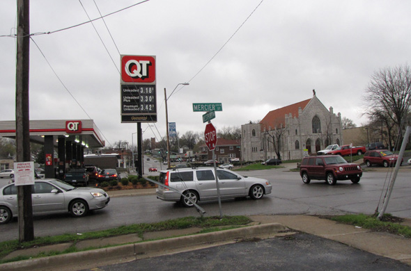
Planners say 43rd Street between Wyoming and Roanoke is the only section of the northeast section of Midtown that rates as congested. They asked residents for input into a new plan being developed to guide land use, urban design and transportation in the area.
(Tomorrow, a recap of the northeast sub-section meeting of the Midtown Plaza area plan, on both sides of Troost where the issues are very different)
Residents of the Coleman Highlands, Roanoke and Volker neighborhoods told city planners traffic speed on major arteries like Southwest Trafficway is a major issue.
The comments came at the first round of sub-area meetings for the Midtown-Plaza area plan, which when completed will be a new set of city guidelines for land use, zoning, public improvements, transportation, housing and economic development.
Residents commented on transportation, urban design and land use issues in the northwest sub-area, which includes 31st to 43rd Streets, State Line to Southwest Trafficway, on Tuesday.
Several residents told planners that Southwest Trafficway is not pedestrian friendly and is not safe. They also said they would like to see traffic slowed on 39th Street.
They discussed the need to integrate expansion of the University of Kansas Medical Center with the surrounding neighborhood, and some said that parking for 39th Street businesses caused a shortage of parking for nearby residents.
Several residents referred to a recent controversy over zoning on Bell Street in Volker, where a developer wanted to build a “multi-unit house” in a single family neighborhood. The building permit was eventually denied, but residents say it raised concern about how protected neighborhoods are from future non-single-family development.
One participant said that residents don’t understand what is included in the current plans, so it is difficult for them to respond to questions.
The planning team released an information booklet containing analysis of the area.
In the area of transportation, it says that while there are several north/south roadways such as Southwest Trafficway, east/west movement is more difficult.
Southwest Trafficway, 31st Street and 43rd Streets are the most traveled, and seen by planners as potential “image streets” that could define the future character of the area.
Planners also said that two plans, the Westport Area Plan from 1972 and the South Volker Neighborhood Plan from 1989, currently cover parts of the area. They asked what changes to those plans residents would like to see.
Details
The NE area information booklet
Previous posts
- Public gives more input into developing Midtown-Plaza plan
- Packed room tells city what is good, could be better about Midtown
- Midtowners already weighing in online on Midtown/Plaza plan
- Residents invited to give input on Midtown/Plaza future
- Residents tell Midtown-Plaza planners why they live in Midtown
- What concerns do residents have about Midtown’s future?
- Midtown Plaza planning meeting, new info


Trackbacks